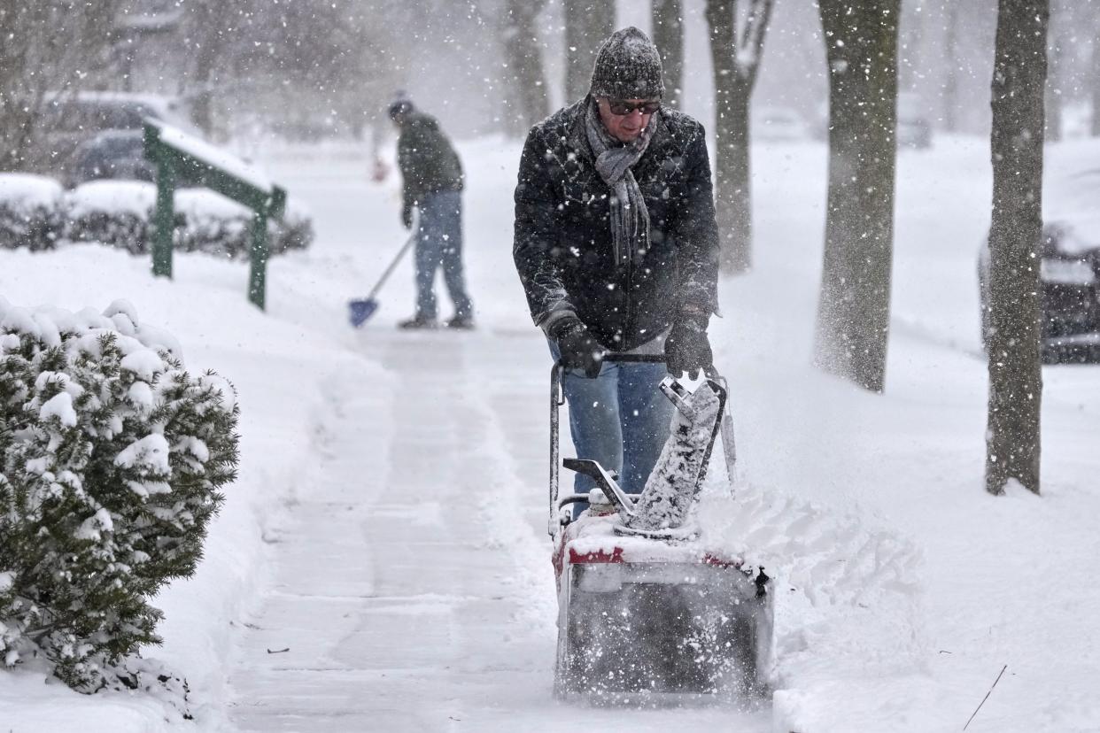
March 4, 2024 – A powerful winter storm system is sweeping through the Midwest, bringing a mix of rain, sleet, and snow to several states. This system, known as a Colorado low, has already started affecting areas in the Northland, creating slick road conditions and reducing visibility due to strong winds.
The storm moved in overnight, delivering heavy rain and localized freezing rain, which has made roads icy in parts of northeastern Minnesota. As temperatures drop, rain and sleet will gradually transition into snow, leading to accumulation and hazardous travel conditions.
Snowfall and Weather Conditions
As the day progresses, moderate to heavy snowfall will continue, particularly in northern Wisconsin, where it is expected to last until Wednesday night. The snowfall will start as wet and heavy flakes but will transition into lighter, fluffier snow as colder temperatures set in.
Strong winds accompanying the storm will further complicate conditions, leading to possible whiteouts and reduced visibility. These conditions make travel dangerous, so drivers should remain cautious and avoid unnecessary trips.
Temperature and Wind Forecast
After the storm clears, temperatures will hover around the mid-30s, staying slightly cooler before warming up again next week. Here’s a detailed breakdown of the upcoming weather conditions:
Tuesday (Today)
- Rain and snow throughout the day, transitioning to all snow by 3 PM.
- High temperature near 37°F.
- Northeast wind at 5 to 10 mph, with gusts up to 20 mph.
- Chance of precipitation: 80%.
- Expected snow accumulation: Less than half an inch.
Tuesday Night
- Snowfall continuing until around 1 AM, with patchy blowing snow afterward.
- Low temperature near 22°F.
- North winds increasing from 10-15 mph to 15-20 mph after midnight.
- Wind gusts could reach up to 35 mph.
- Chance of precipitation: 80%.
- Expected snow accumulation: 1 to 3 inches.
Wednesday
- Snow likely in the morning, with patchy blowing snow in the afternoon.
- Cloudy skies turning mostly sunny later in the day.
- High temperature near 29°F.
- Windy conditions with north winds at 15-25 mph, gusting up to 35 mph.
- Chance of precipitation: 60%.
- Expected snow accumulation: Less than half an inch.
Thursday
- Mostly sunny skies.
- High temperature near 36°F.
- Breezy with west winds at 5-15 mph, with gusts up to 20 mph.
Friday
- Mostly sunny weather.
- High temperature near 31°F.
- West winds at 5-10 mph, with gusts up to 15 mph.
Saturday
- A slight chance of snow showers.
- Partly sunny skies.
- High temperature near 30°F.
- Northwest wind at 5-10 mph, with gusts up to 20 mph.
Sunday
- Mostly sunny conditions.
- High temperature near 33°F.
- Breezy with west winds at 10-15 mph, gusting up to 25 mph.
Travel Advisory and Safety Tips
With icy roads, strong winds, and heavy snowfall, drivers should exercise caution. Here are a few safety tips for navigating this winter storm:
- Avoid unnecessary travel if roads are icy or if visibility is low.
- Drive slowly and increase following distance to prevent accidents.
- Keep an emergency kit in your vehicle, including blankets, water, and a flashlight.
- Check weather updates before heading out to ensure safer travel.
As the storm moves out, conditions will gradually improve, but cold temperatures and occasional snow showers will persist throughout the week. Stay updated with local weather reports and take necessary precautions to stay safe.
Disclaimer – Our team has carefully fact-checked this article to make sure it’s accurate and free from any misinformation. We’re dedicated to keeping our content honest and reliable for our readers.